Home / Our mission / Blog / How Geovelo data helps territories promote and facilitate cycling?
How Geovelo data helps territories promote and facilitate cycling?
01/12/2023
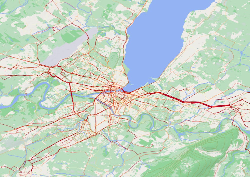
The journeys recorded with the Geovelo application serve as a valuable tool to assist the territories we collaborate with in analyzing and improving the bike-friendliness of their network. In the spirit of transparency with our users, and because we take pride in this innovative model, we'd like to briefly explain why recording these journeys is so important.
An innovative model to support bike development
The Geovelo application allows users with an account to keep track of their journeys, thus monitoring their activity statistics. These statistics can be collected in three ways:
- Routes traveled in navigation mode.
- Routes manually recorded using the dedicated button on the main screen.
- Routes recorded through automatic activity detection, which users can activate in the application settings.
"17.1 MILLION KILOMETERS RECORDED ON GEOVELO IN 2021"
These journeys serve as a real decision-making tool provided by Geovelo. Public decision-makers can gain insights into the most frequently used routes (or conversely, segments avoided at all costs), average speed on these routes, or even potentially hazardous areas. With this improved understanding of the state and usage of the cycling network, decisions regarding its development become more easily assessable or planifiable.
Respect for privacy
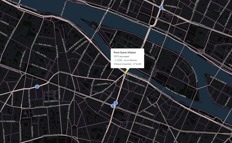
Although this analysis platform is an integral part of Geovelo's model, efforts are made to respect your privacy and GDPR. Before making them available to our partner territories, the data is anonymized and truncated from its beginning and end to avoid identifying origins and destinations. Furthermore, journeys are not individualized but represented by an overall average of passages per route, avoiding any identification.
Finally, in addition to these strict privacy rules that protect our users, our business model is not based on selling this data for marketing purposes. We commit to sharing this data only with public entities responsible for the evolution of cycling facilities.
Another good reason to use Geovelo
So, in addition to allowing you to keep track of your travel statistics and perform well in the challenges we regularly publish, you now know why the journeys you record are so valuable for improving travel conditions for all cyclists.
To contribute even more, you can also provide feedback directly in the application. These can be of two types:
- Cartographic contributions: If you notice an error in the mapping of cycling facilities (missing bike lane or bike parking, for example) or if a suggested route does not seem optimal.
- Community notifications: Dangerous zone, blocked path, or pothole... These reports are not only forwarded to our partner communities but also shared with other Geovelo users traveling nearby.
You might also be interested in these articles...
Browse all articles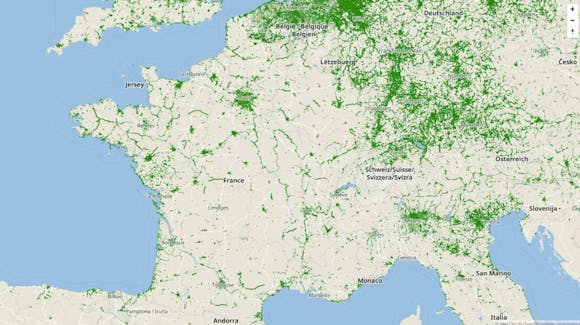
A Diagram to map them all!
Proper referencing of cycling facilities is a matter of "traveler information" for cyclists. Explanation of the work done to agree on a shared standard to harmonize these references.

7 effective tips to protect your bike from theft
Bike theft is a recurring problem that can cause a lot of frustration. By taking some simple precautions, you can significantly reduce the risks of theft.
Cycling around the world
Have you ever wondered about the role of cycling in other countries around the world? Let's take a world tour to discover the place of cycling in different cultures!