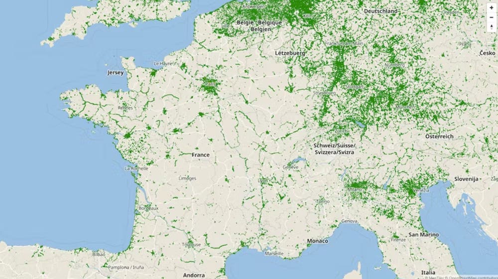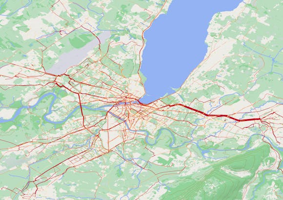
"Build bike lanes, and cyclists will come." We might be tempted to add: "Map them, and they will be even more used." Proper referencing of cycling facilities is indeed a matter of "traveler information" for cyclists. The challenge is to agree on a shared standard to harmonize these references. This is what has recently been achieved thanks to the work of data.gouv.fr and Vélo & Territoires, in which Geovelo has been able to participate. Let's delve into the details.
Building bike paths is good, ensuring their proper mapping is even better!
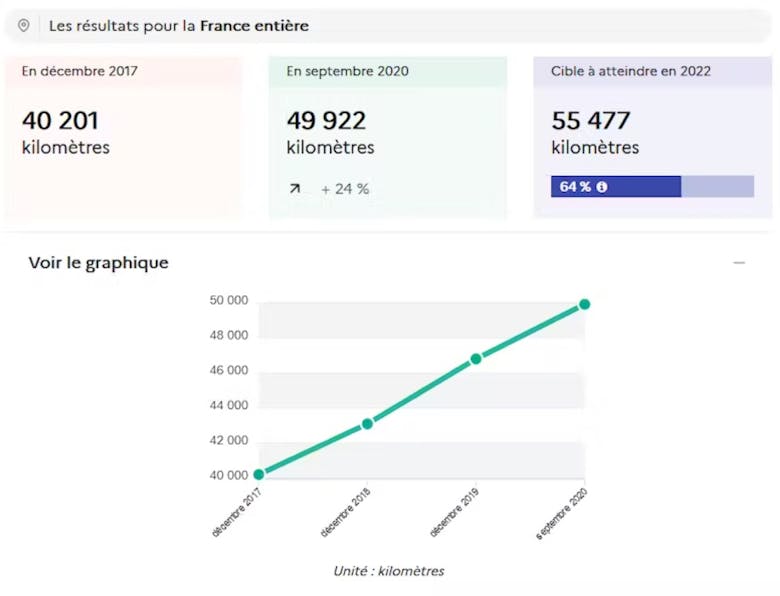
The deployment of cycling facilities had already significantly accelerated in late 2019 (perhaps due to approaching municipal elections?), but the (first) lockdown in May truly amplified the phenomenon. Everywhere in France, new cycling facilities sprouted to meet the needs of an ever-growing community of cyclists and to facilitate the conversion to cycling for as many people as possible.
This multiplication of announcements and openings of dedicated bike lanes makes the question of their proper referencing even more central. Updating the cartographic databases of local authorities represents a significant and yet essential task.
To facilitate and harmonize these efforts, transport.data.gouv.fr has worked over the past 18 months with Vélo & Territoires to develop a schema for cycling facilities. The chosen data schema was recently published and will facilitate the harmonization of cartographic data on cycling facilities produced and shared. It can be consulted on the data.gouv.fr website.
Geovelo, at the heart of mapping work on OpenStreetMap
With the official publication of this data schema, OpenStreetMap emerges as the reference database in terms of quality and ease of access to information on cycling facilities. Geovelo already actively contributes to this, not only through its collaborations with local authorities throughout France but also through numerous feedback from our users.
The schema that Geovelo had established in collaboration with Île-de-France Mobilités, APUR, and the Institut Paris Région served as a working basis for this standardization of data. Many improvements were made during the workshops organized by transport.data.gouv.fr and Vélo & Territoires, in which Geovelo participated alongside numerous local authorities, as well as stakeholders such as FUB and the ADAVA association.
Geovelo will continue to update cycling facilities data on OpenStreetMap, and the exports we provide to our local authority clients will soon be available in this new format, in addition to other formats already used. In addition to usage data, cartographic data is an integral part of the Geovelo offering for territories.
You might also be interested in these articles...
Browse all articles
How Geovelo data helps territories promote and facilitate cycling?
Journeys recorded with the Geovelo application are a valuable tool to help territories analyze and improve the bike-friendliness of their network.

Bike trip: essential equipment for a worry-free journey
Our advice on essential equipment for your bike trip !

7 effective tips to protect your bike from theft
Bike theft is a recurring problem that can cause a lot of frustration. By taking some simple precautions, you can significantly reduce the risks of theft.
